What is happening
The Associated Press reported from National Hurricane Center updates that Hurricane Isaias had strengthened to Category 3 on October 9 and was moving toward the Gulf Coast between Mobile Bay and the western Florida Panhandle. Dangerous wind, storm surge, heavy rain and inland flooding were expected across parts of Florida, Alabama, Mississippi and Georgia.
Storm position, intensity, warnings and road conditions can change after publication. This article does not predict a final landfall point or provide live closure status. Drivers should use current National Hurricane Center advisories and state 511 systems before and during any dispatch decision.
Official road and evacuation actions
The Alabama Department of Transportation suspended temporary lane closures on interstates, U.S. highways and state routes in 10 southern counties from 6 p.m. October 8 through 6 p.m. October 11. ALDOT told drivers to postpone unnecessary travel, avoid flooded roads and use ALGO Traffic for current conditions.
Santa Rosa County, Florida, reported evacuation orders, toll suspension on Garcon Point Bridge and several local street restrictions supporting Highway 90 evacuation traffic. The county directs drivers to FL511 for current state and federal road conditions and says bridges close only when sustained tropical-storm-force winds are observed by transportation or law-enforcement officials.
What commercial drivers should do
Dispatchers should verify FL511, ALGO Traffic and other affected state 511 systems immediately before departure and again at safe stops. Build time for evacuation traffic, reduced visibility, high winds, standing water, debris and later route restrictions; field signs and official orders control.
Do not drive through flooded pavement or assume a bridge, terminal, truck stop or fuel location remains accessible because it was open earlier. Park in a legal, safe location outside evacuation routes if conditions exceed the driver's or carrier's operating limits, and preserve hours-of-service records and dispatch communications if plans change.
What remains uncertain
A hurricane's track, intensity and local impacts can shift quickly. The sources establish official warnings and transportation actions at their stated times; they do not guarantee that a road is open now, that a specific detour is truck-legal or that a facility has fuel, power or parking.
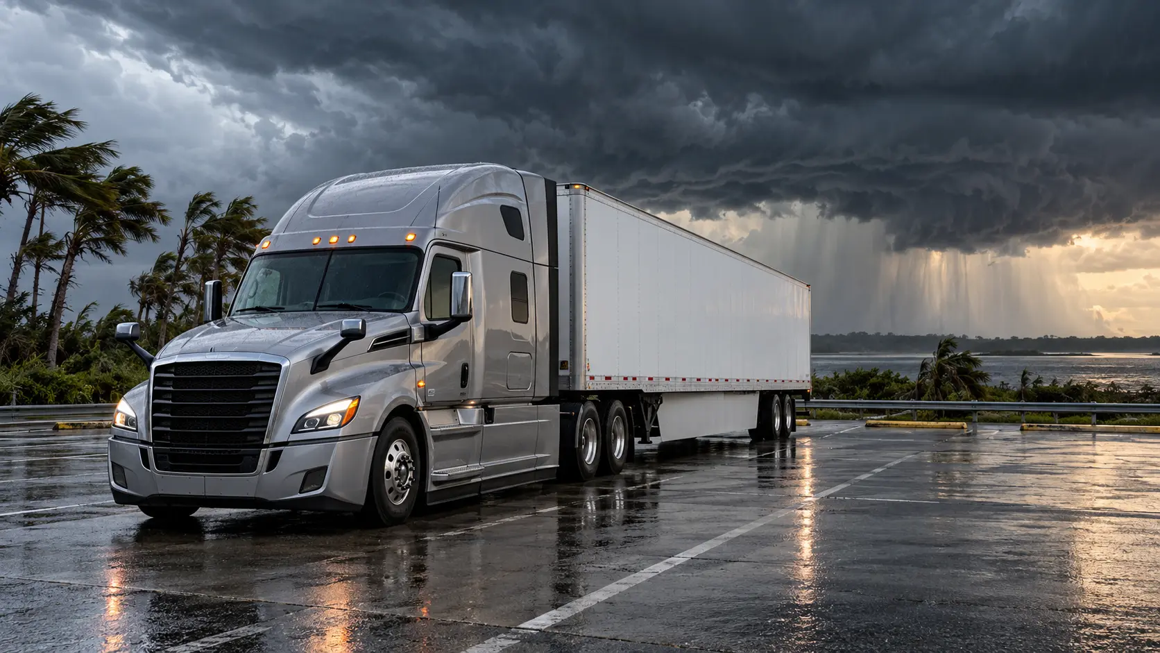
No crash, fault, casualty, impairment or carrier involvement is reported or implied by this article or its illustration.
Primary sources and supporting records
- National Hurricane Center: National Hurricane CenterPrimary federal source for current storm advisories, watches and warnings • Published 2026-10-09 • Checked October 9, 2026 at 5:12 PM
- Alabama Department of Transportation: ALDOT suspends temporary lane closures ahead of Hurricane IsaiasPrimary road-authority notice for the 10-county temporary-lane-closure suspension and ALGO Traffic direction • Published 2026-10-08 • Checked October 9, 2026 at 5:12 PM
- Santa Rosa County, Florida: Hurricane Isaias Update #4Primary local emergency update for evacuation, toll, local street and FL511 guidance • Published 2026-10-08 • Checked October 9, 2026 at 5:12 PM
- Executive Office of the Governor of Florida: Governor Ron DeSantis Issues Updates on State Preparedness Efforts for Hurricane IsaiasPrimary statewide preparedness and emergency-declaration context • Published 2026-10-08 • Checked October 9, 2026 at 5:12 PM
- Associated Press: Isaias strengthens into Category 3 hurricane as it nears the US Gulf CoastReputable same-day reporting based on National Hurricane Center updates and regional official actions • Published 2026-10-09 • Checked October 9, 2026 at 5:12 PM
No corrections have been recorded for this article. Read our editorial and corrections policy.