What the warning says
The National Weather Service office in Sacramento upgraded the alert to a winter storm warning for elevations above 4,000 feet in the northern Sierra and southern Cascades. The warning runs from 10 p.m. Tuesday through 4 a.m. Friday and specifically includes Interstate 80, U.S. 50, State Route 4 and State Route 108.
A warning means heavy snow is expected in the covered area. It is not a road-closure notice or a statement that a particular chain-control level is active; current Caltrans and law-enforcement instructions still control each route.
Snow and timing
The Sacramento warning lists total snow accumulations up to one foot between 4,000 and 5,000 feet. Above 5,000 feet, the warning calls for 1 to 3 feet with as much as 4 feet at the highest peaks; wind gusts could reach 55 mph in the higher-elevation zone.
Snow levels are expected near 3,500 to 4,500 feet Tuesday night, rising to about 4,500 to 5,500 feet Wednesday. Forecasters expect the heaviest snow Wednesday morning into the afternoon, with rates of 1 to 2 inches per hour or more. The agency says travel could become very difficult to impossible and visibility could fall sharply.
Driver and dispatcher planning
Build route, fuel, parking and delivery-time alternatives before entering the mountain corridor. Check the current National Weather Service warning and Caltrans QuickMap or 511 before dispatch and again before the grade; the warning does not establish the road condition or chain-control level at departure time.
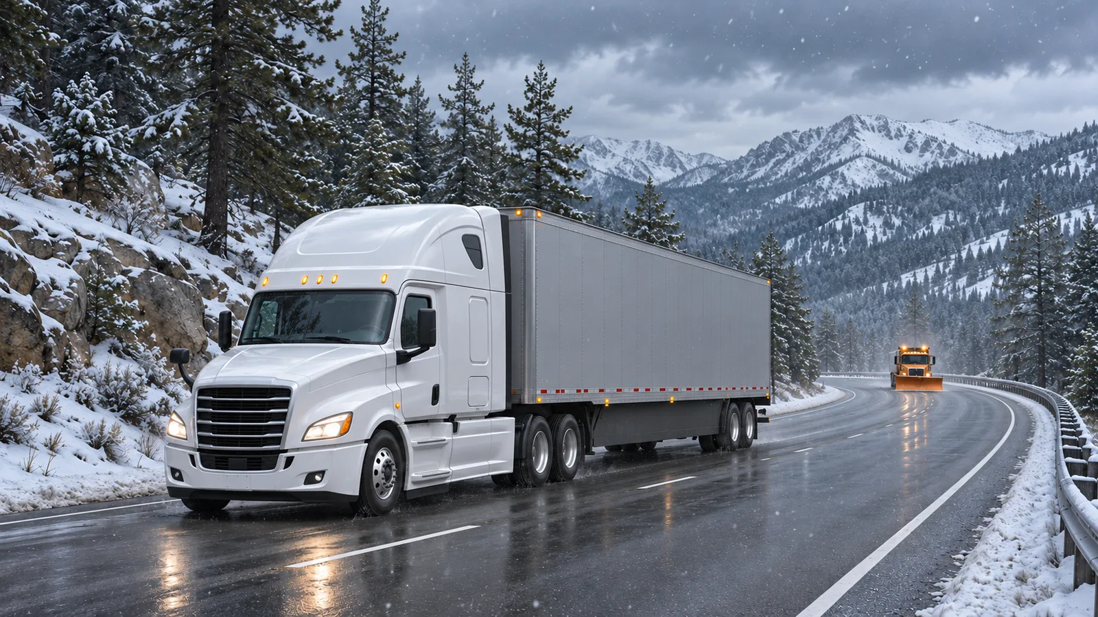
Carry and install traction equipment as required by the posted control level and carrier policy. Do not infer a legal chain requirement, open pass or available detour from this article or its illustration; current Caltrans and law-enforcement instructions control.
CDL topics affected
The affected study topics are adverse-weather speed and following distance, mountain-route planning, traction-device compliance and the difference between a weather watch and a warning. The alert changed from a watch to a warning, but no practice-question wording, answers or IDs changed.
Conditions may be different on each pass and elevation band. Drivers should use official route-specific updates rather than applying the warning totals to every segment of I-80 or U.S. 50.
Primary sources and supporting records
- National Weather Service Sacramento: Winter Storm Warning for the northern Sierra and southern CascadesPrimary federal weather alert establishing the upgrade to warning status, affected routes, timing, elevations, expected accumulation, wind and travel impacts • Published 2026-11-16 • Checked November 17, 2026 at 7:10 AM
- National Weather Service Sacramento: Area Forecast DiscussionPrimary forecast discussion used for storm timing and forecast context • Published 2026-11-16 • Checked November 17, 2026 at 7:10 AM
- Autoblog: Winter Storm Watches Issued for Up to 48 Inches of Snow and 80 MPH Gusts Through FridayIndependent automotive-news discovery of the developing Sierra storm; the current warning status comes from the National Weather Service • Published 2026-11-16 • Checked November 17, 2026 at 7:10 AM
- California Department of Transportation: QuickMap road conditionsPrimary state route-status resource for current closures, chain controls and travel conditions; not used to claim a live restriction • Checked November 17, 2026 at 7:10 AM
No corrections have been recorded for this article. Read our editorial and corrections policy.